


Feel at ![]()
 !
!


We want to give you a reference point! ![]()

Did you think this was the end?
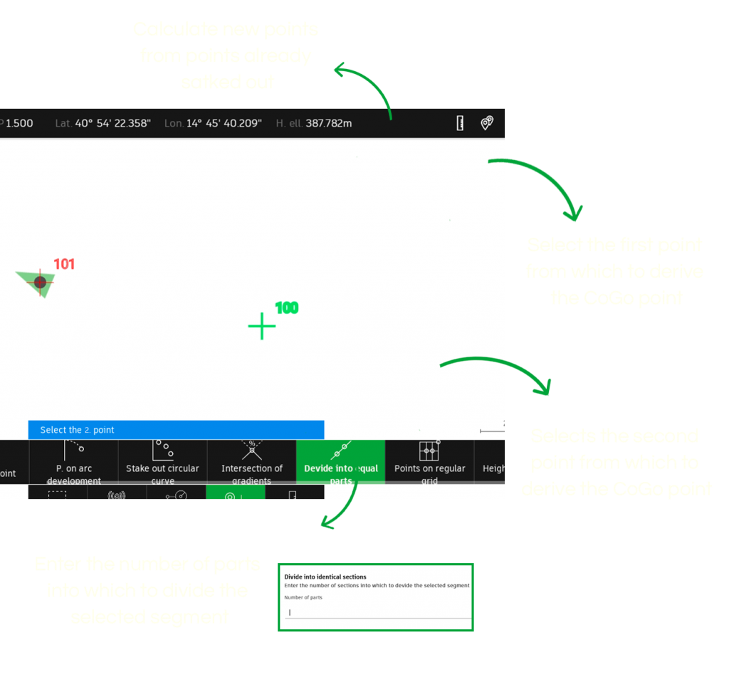
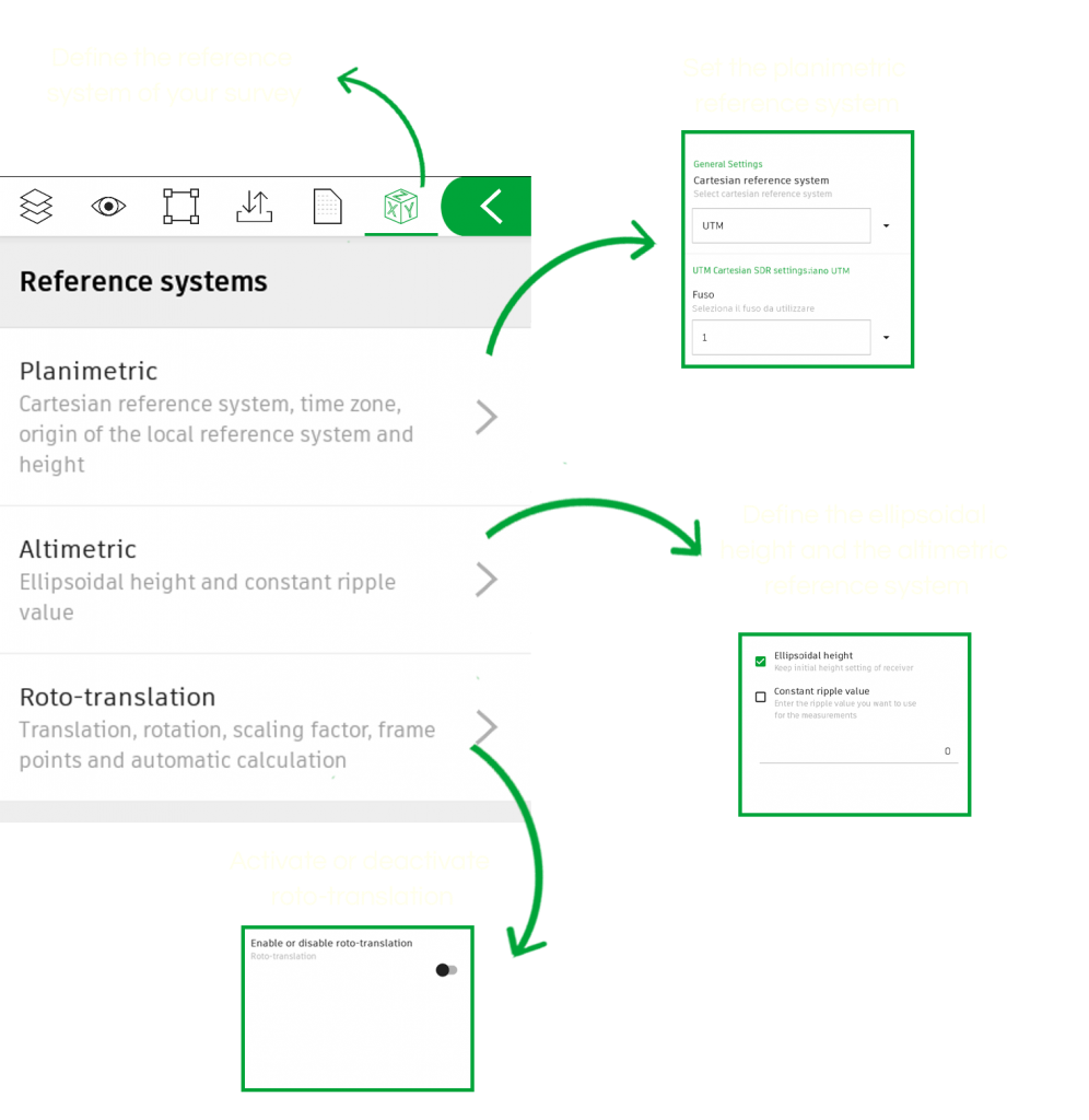
We have learned through experience in the field how important it is to have complete control of the various reference systems. Moreover, we understand when, with a Base - Rover system, you need to have known points to orient yourself and stake out points  ... and we assure you that we have prepared an ad hoc command here that will really help you save time...
Ah! In the menu it's called "Roto-translation", (don't forget it when you are in the field).
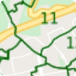
A stable connection with the GNSS receiver is one of the most important things in surveying.
We have worked on Wi-Fi and Bluetooth connections, refined them and made the process of finding and connecting to the antenna so easy that you can do it with your eyes closed![]()

The very ![]()
 of TPad:
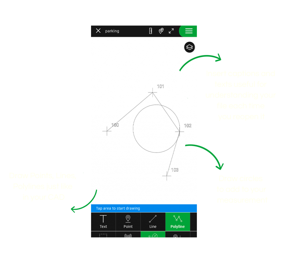
Measuring and Point Stakeout